










National Seismic Programme Completed 46,960 Line-Km, Yielded 11 Blocks
Key highlights
- National Seismic Programme completed about 46,960 line-km of 2D seismic acquisition, processing and interpretation since September 2016.
- The programme yielded 11 awarded exploration blocks, including 7 in Rajasthan, 2 in Mahanadi and 2 in Assam Shelf.
- Category-III basins accounted for 24,280 line-km, or 51.7%, of the 46,961 line-km listed total.
- The 11 programme-linked awards represented 6.4% of the 172 blocks awarded across OALP rounds I to IX.
powered by IRIS
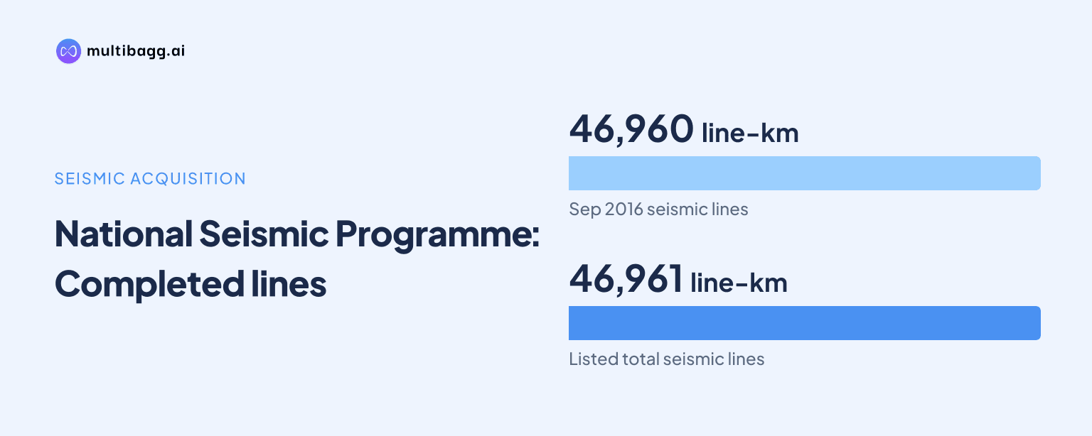
National Seismic Programme has completed about 46,960 line-km of two-dimensional, or 2D, seismic acquisition, processing and interpretation since September 2016, and 11 exploration blocks have been awarded from areas it appraised. Seven of the 11 blocks are in Rajasthan, while Mahanadi and Assam Shelf account for two blocks each.
How much work has National Seismic Programme completed?
National Seismic Programme has completed about 46,960 line-km of 2D seismic acquisition, processing and interpretation, or API, across Category-I, Category-II and Category-III sedimentary basins. The Central Sector Scheme began in September 2016 after approval by the Cabinet Committee of Economic Affairs to appraise onshore basin areas where geoscientific data was absent or scanty.
A 2D seismic survey records subsurface signals along survey lines, and line-km measures the combined length of those lines. API covers collection of seismic data, conversion of those signals into usable images and geological interpretation. The Directorate General of Hydrocarbons lists individual basin allocations totalling 46,961 line-km, consistent with the programme's rounded total of about 46,960 line-km.
Category-III basins received 24,280 line-km, or 51.7%, of the listed National Seismic Programme coverage. Deccan Synclise was the largest single allocation at 10,436 line-km, equal to 22.2% of the 46,961 line-km detailed total.
Which areas received National Seismic Programme coverage?
National Seismic Programme covered 21 named basin areas across three categories, with Deccan Synclise, Vindhyan, and Assam Shelf and Assam Arakan receiving the largest individual allocations. Deccan Synclise received 10,436 line-km, compared with 5,373 line-km in Vindhyan and 5,246 line-km in Assam Shelf and Assam Arakan.
Category-I work totalled 10,448 line-km across Assam Shelf and Assam Arakan, Cambay, Krishna-Godavari and Rajasthan. Rajasthan received 2,752 line-km, while Krishna-Godavari received 981 line-km. Category-II work totalled 12,233 line-km, including 2,481 line-km in Mahanadi, 2,306 line-km in Saurashtra and 1,809 line-km in Kutch.
Category-III work included 3,858 line-km in Ganga-Punjab, 1,778 line-km in Chhattisgarh and 1,618 line-km in Narmada, alongside the 10,436 line-km Deccan Synclise allocation. India has 26 sedimentary basins covering 3.36 million square kilometres across onshore, shallow-water and deep-water areas, and the Directorate General of Hydrocarbons says 79.5% of basin area has been appraised for meaningful subsurface analysis.
National Seismic Programme is an onshore appraisal campaign, while appraisal of unappraised offshore areas up to India's Exclusive Economic Zone, or EEZ, is being pursued separately. The source also identifies parametric-well drilling as a separate activity, distinguishing seismic mapping from drilling-based geological assessment.
Got a follow-up? Ask IRIS
How did National Seismic Programme yield 11 awarded blocks?
National Seismic Programme yielded 11 awarded blocks because its data was used to identify prospective areas and carve out exploration acreage under the Open Acreage Licensing Policy, or OALP. Rajasthan accounts for seven of the 11 awards, or 63.6%, while Mahanadi and Assam Shelf account for two awards each, or 18.2% apiece.
The OALP mechanism does not make seismic coverage an automatic award of acreage. Under OALP, an investor studies geological and geophysical data in the National Data Repository, or NDR, identifies an area of interest and submits an expression of interest. The government then finalises a block, invites bids, evaluates them and awards a contract.
The 11 National Seismic Programme-linked awards equal 6.4% of the 172 exploration blocks awarded across OALP rounds I to IX. That comparison measures the conversion of National Seismic Programme-appraised areas into awarded blocks, not hydrocarbon reserves or production, because the disclosure provides no discovery or commercial-production volumes for the 11 blocks.
National Seismic Programme used long seismic spreads of 12 to 18 km and what the Directorate General of Hydrocarbons describes as state-of-the-art technology. The resulting data indicated sub-trappean Mesozoic sediments in some areas and improved understanding of tectonic frameworks, providing leads on extensions of existing producing basins. Any progression from those leads to discoveries still requires operator assessment, exploration work and drilling.
Why does National Seismic Programme matter for exploration bidding?
National Seismic Programme matters for exploration bidding because it supplies geoscientific data before companies nominate and bid for acreage. Its stated purpose is to identify prospective areas and help carve out OALP blocks, linking basin appraisal with exploration and production, or E&P, activity.
The NDR provides access to National Seismic Programme data for E&P stakeholders worldwide before bidding. This access fits the OALP process, which begins with an investor's review of geological and geophysical information, followed by an expression of interest and a government decision on whether to define and offer a block.
National Seismic Programme is part of a wider exploration framework that also opened nearly 99% of India's EEZ for E&P after previously restricted No-Go offshore areas were opened. The two measures address different constraints: National Seismic Programme improves onshore information where data was limited, while the EEZ decision expands offshore territory available for exploration.
Conclusion
National Seismic Programme has converted a national mapping effort into awarded acreage: about 46,960 line-km of 2D seismic API work has supported 11 awarded blocks. Category-III basins received 24,280 line-km, more than half of the listed 46,961 line-km total, while Rajasthan produced seven of the 11 awards.
The next indicators are the disclosed plan for four stratigraphic wells and the proposed NDR 2.0 platform with improved interface and analytical capabilities. Further OALP awards will show whether National Seismic Programme data continues to produce exploration contracts, while subsequent surveys and wells will determine whether those contracts generate evidence of hydrocarbons.